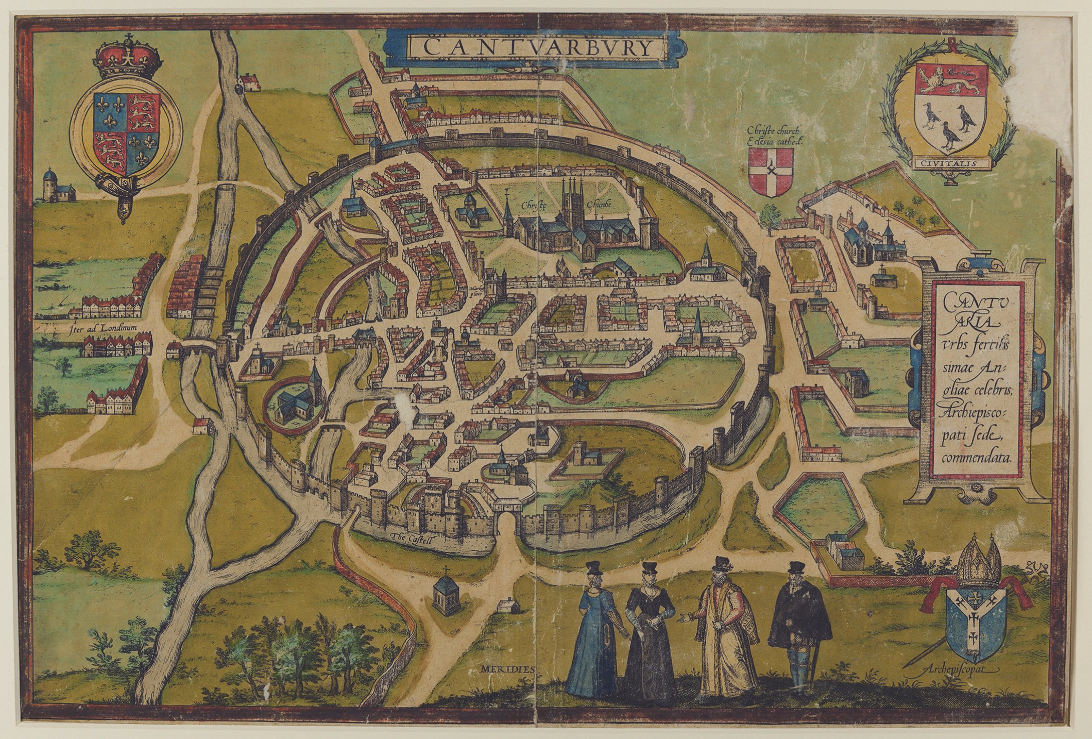
Celebrating Canterbury’s cartographic heritage: a short introduction to the City’s maps and mapmakers, c.1550-1750
Alexander J. Kent, Avril Leach, Simon Pratt and Cressida Williams


Alexander J. Kent, Avril Leach, Simon Pratt and Cressida Williams